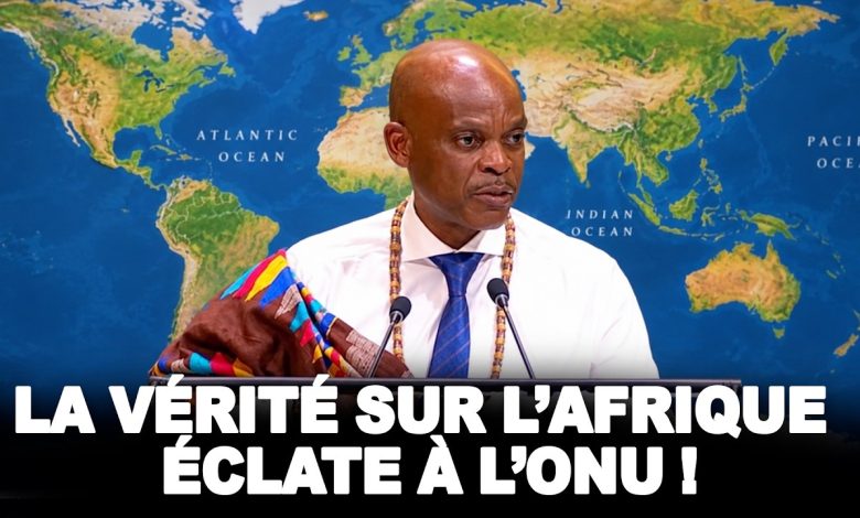
The way the world is represented on a map is not merely a matter of graphic design. It influences education, information, collective perceptions and the understanding of scale between continents. At the United Nations, Togo presented, on behalf of the Group of African States, a proposal aimed at promoting a global cartographic representation that more accurately reflects the real sizes of the world’s regions, with particular attention to Africa.
The initiative places cartography at the intersection of science, education, historical memory and fairness in the representation of peoples. It does not seek to alter borders or settle territorial issues: its stated purpose is strictly cartographic, scientific and educational.
Why World Maps Do Not Always Show Accurate Proportions
Many maps used in school textbooks, the media, digital platforms or institutional documents rely on projections designed to meet specific technical needs. Some, in particular, have been used for maritime navigation.
The issue raised by the Togolese initiative concerns the general use of these projections. When a projection distorts surface proportions in order to meet a technical constraint, it can create the impression that certain territories are larger or smaller than they actually are.
According to the argument presented before the General Assembly, this situation has had a lasting influence on the geographical perceptions of entire generations. Africa, along with other regions of the world, can thus appear symbolically diminished in the collective imagination compared with its actual size.
The text therefore makes an essential distinction: a projection may be useful for a specific purpose without being suitable for every educational or informational use. The aim is not to reject existing cartography as a whole, but to encourage a critical understanding of the methods used, their features, their limitations and their appropriate use.
The Proposal Presented by Togo on Behalf of African States
The proposal presented concerns rebalancing global cartographic representation and promoting a fair representation of the world’s regions, particularly Africa. It was presented by Togo in its capacity as facilitator, on behalf of the Group of African States.
In the statement devoted to the text, discussions among delegations were described as having led to a balanced, inclusive and action-oriented proposal. The document calls on Member States, international organizations and other stakeholders to encourage more accurate representations of continental land areas.
This approach does not concern the drawing, status, delimitation or recognition of borders. The Togolese representative stressed this point: the proposal should not be interpreted as the expression of a political, legal or territorial position. It concerns the relative proportions of continental land areas.
This clarification is central in the United Nations framework. It confines the initiative to the quality of geographical representation, without opening a debate on border disputes or territorial claims.
A Matter of Scientific Accuracy and Education
The proposal presents the correction of cartographic distortions as a requirement of scientific and educational accuracy. It links this issue to access to more accurate geographical knowledge, cognitive justice and the dignity of peoples.
Education has an important place in the proposed guidelines. The text encourages the integration of critical cartography education into school curricula. The aim is to explain to students that every map is produced according to a method, with specific choices and visual effects.
Such an approach would make it easier to distinguish between maps designed for navigation, those intended to display surface areas, and those used for general information purposes. It therefore seeks to give learners the tools needed to understand why the apparent size of a territory can vary greatly from one projection to another.
The text also calls on the relevant United Nations entities, regional organizations, universities, research centres and technology stakeholders to cooperate. The fields mentioned include cartography, geomatics, geodesy and geospatial technologies.
Support Envisaged for African Cartographic Capacity
The initiative provides for support for research, innovation and the strengthening of national capacities, particularly in developing countries and in Africa. This aspect is therefore not limited to the choice of an image of the world in classrooms: it also concerns the scientific and technical skills related to producing, analysing and using geographical data.
The proposal nevertheless specifies that it respects existing mandates. It creates no new financial obligation and does not provide for an additional institutional mechanism at the United Nations level.
The approach is therefore based on encouraging cooperation, the dissemination of knowledge and a more thoughtful use of cartographic representations. It calls on the stakeholders concerned to give greater consideration to projections that reflect the relative sizes of continents.
The Symbolic Significance for Africa and Its Diaspora
For the Group of African States, the issue has particular significance. In the argument put forward, the representation of Africa on maps is linked to recognition of its place on the international stage, the restoration of its dignity and the correction of representations inherited from history.
The text also links this initiative to the objectives of the Decade of African Roots and the African Diaspora, covering the period 2021-2031, the second International Decade for People of African Descent, planned for 2025-2034, and the final declaration of the ninth Pan-African Congress concerning disproportionate cartographic representations of the continent.
The issue at stake is therefore not simply replacing one map with another. It is about reflecting on how knowledge is produced, transmitted and visualised. From this perspective, a more proportionate map can contribute to a fairer understanding of peoples and regions around the world.
The message presented before the General Assembly is that knowledge should bring people together rather than diminish them, and represent the world in its diversity and reality. For its proponents, more accurate geographical representation fosters mutual respect, presented as a foundation for peace.
FAQ
What does the Togolese initiative call for regarding world maps?
It encourages States, international organizations, academia and technology stakeholders to promote cartographic representations that more faithfully reflect the real sizes of continents, particularly in information and education.
Does the proposal concern State borders?
No. The text specifies that it concerns neither the delimitation, drawing, status nor recognition of borders. Its stated purpose concerns exclusively the proportional representation of continental land areas.
Why is Africa particularly concerned?
The proposal considers that some widely used projections have contributed to visually minimizing the size of Africa. It advocates a representation that more faithfully reflects the relative dimensions of the continent and other regions of the world.